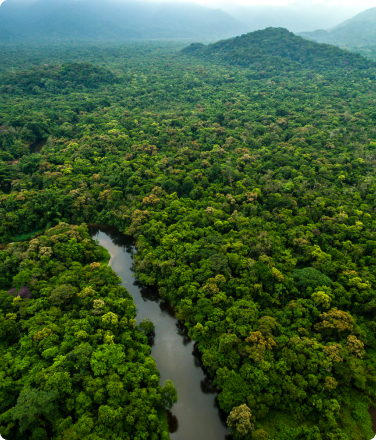
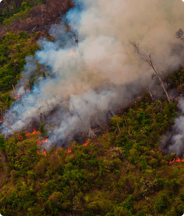
Results of a new scientific study show that indigenous peoples using remote sensing technology can better survey their lands and reduce deforestation by half. Under Rainforest Foundation US’s community-based forest monitoring program, called Rainforest Alert, indigenous forest patrollers combine satellite imagery with foot patrols to verify evidence and equip community leaders with the information they need to take action. This cost-effective model could be scaled across the Amazon basin to reduce carbon dioxide emissions by the equivalent of 21 million cars per year, at only $6/hectare.
This film explains the results of the study, the Rainforest Alert methodology, and how it could be scaled across the Amazon basin to reduce emissions from deforestation. The film was produced by Rainforest Foundation US and If Not Us, Then Who.


