The Amerindian Peoples Association presents its findings on the situation of indigenous land tenure and introduces a new tool that maps indigenous lands in Guyana
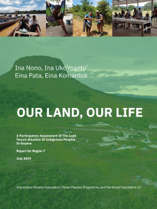
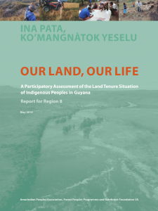
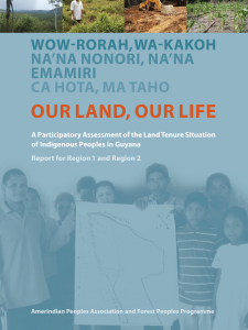
After 8 years of participatory research on indigenous peoples’ land tenure in Guyana, the Amerindian Peoples Association (APA) is launching the latest edition of “Our Land, Our Life: A Participatory Assessment of the Land Tenure Situation of Indigenous Peoples in Guyana”. The organization will also introduce a new geographic database–the first of its kind–that hosts spatial data pertaining to all indigenous peoples’ lands in Guyana. Rainforest Foundation US (RFUS) and Forest Peoples Programme (FPP) supported the assessments and establishment of the database.
The Report
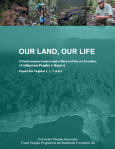
Between 2012 and 2020, APA – in collaboration with RFUS and FPP – conducted land tenure assessments across Guyana’s Regions 1, 2, 7, 8, and 9. The findings are summarized in the newly released report “Our Land, Our Life”. Researchers found that Guyana’s indigenous peoples continue to face a number of threats to their land security, including:
- Failure to recognize collective territories
- Inadequate recognition of customary lands
- Demarcation errors
- Map problems
- Land conflicts
- Lack of clarity of land titles
Researchers engaged with village and regional leaders – including elders, women, and youth – to develop recommendations for Guyana’s government to improve indigenous peoples’ tenure security. Those recommendations include:
- Revise the Amerindian Act to bring it in line with international standards for protection of indigenous peoples’ rights
- Improve the land titling process to better protect indigenous land rights
- Address land conflicts by respecting the right to effective participation and free, prior, and informed consent
- Correct mapping errors
The Database
The geographic database consolidates observations taken over APA’s 20-year history in the field working with indigenous communities and district councils. The data was gathered through field work, including GPS surveys and interviews. The database is managed and continuously updated by APA and local indigenous partners.
The database features three maps focusing on various topics important to indigenous peoples in Guyana. An Overview Map provides information on titled lands, villages, protected areas, mining claims and indigenous use areas. A Threats Map pinpoints a variety of threats, accompanied by written descriptions and photographic or satellite evidence. Finally, the Conservation Opportunities Map observes five areas in western Guyana under active conservation planning by local district councils. APA will add future maps and areas as data becomes available.
Click on the thumbnails to view past land tenure assessments

